Strategic Planning in Queensland
Strategic Planning in Queensland
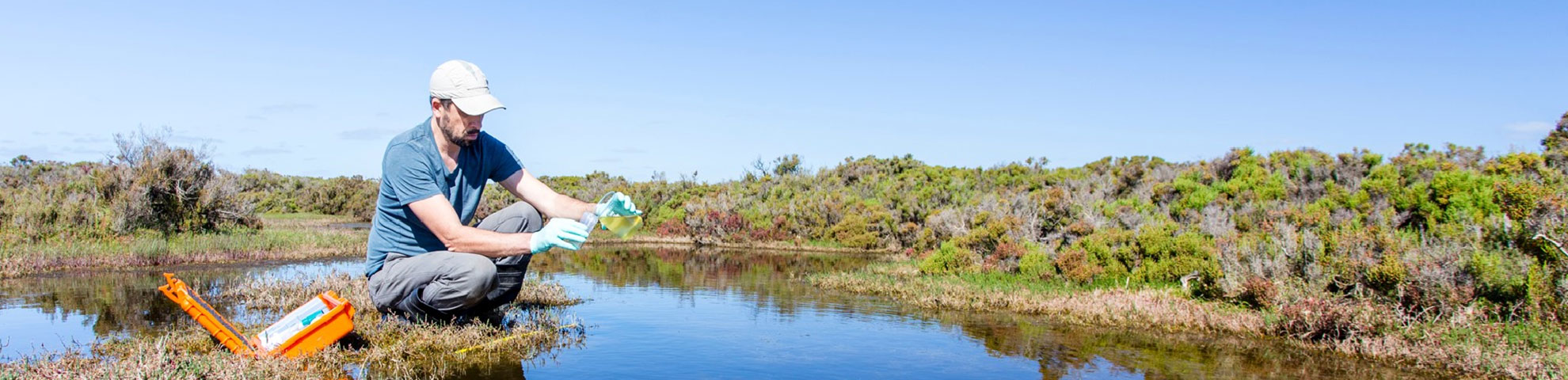
Project overview
A number of projects are supporting strategic planning in Queensland. These projects aim to understand:
A number of projects are supporting strategic planning in Queensland. These projects aim to understand:
The Central Queensland Regional Water Assessment will carefully assess both infrastructure and non-infrastructure solutions for supplying adequate water within and surrounding the area of the Fitzroy Basin.
The assessment will explore potential ways to improve water security and explore opportunities for greater economic growth for the region’s key urban centres, including Rockhampton, Biloela and Blackwater. The preferred options will be identified for further consideration.
The hydrogen industry is rapidly expanding. Like other resource development activities, there are potential environmental impacts. Growth of the industry will need water. Understanding water resources and wastewater management needs will support sustainable growth.
This project developed a rapid, consistent approach to understand water requirements. It focussed on 3 regions to develop a national method as:
This project focuses on adaptation of the drainage system in the Limestone Coast Landscape Region of South Australia.
It will explore the potential to retain and redirect water in the landscape to mitigate risks and build resilience to the benefit of multiple primary industries and the environment.
This project addresses the challenge of matching water demand with volume and quality. The investigation considered:
The project:
This project is a research trial that will be undertaken over 3 years. It will address the challenges of increasing agricultural expansion north of Adelaide (Mallala to Balaklava) using groundwater resources.
This project will provide identification and modelling of water volumes and quality. A report will be provided including assessments on available water use for growing crops in the region. This report will include mitigation strategies under current and future climate scenarios.
The project will:
This project involved a review of the current and future risk profile of agrichemicals in the Keep River Catchment of the Kimberley region.
The outcomes of this assessment will assist in developing an understanding of management options. These options are aimed at reducing the offsite risk from agricultural chemicals to planned developments of the Keep River irrigation areas.
This project:
Groundwater in New South Wales (NSW) is largely sourced from the Great Artesian Basin (GAB). Sustainably managing water extraction from the GAB is vital for long-term water security in the state. This includes for agriculture, tourism and primary industries.
The CSIRO investigated 3 priority river catchment areas. These were across Western Australia (WA), Northern Territory (NT) and Queensland (Qld):
This project assessed existing and new geoscientific data and technologies. This included satellite data, to improve our understanding of the hydrogeological system and water balance in the Great Artesian Basin (GAB). Geoscience Australia undertook the assessment with the National Water Grid Authority, CSIRO, Bureau of Meteorology, Australian National University and relevant agencies in the Queensland, South Australian, New South Wales and Northern Territory governments.