This project was funded by the Australian Government ($6.8 million). Australian Government funding was provided through the National Water Grid Fund.
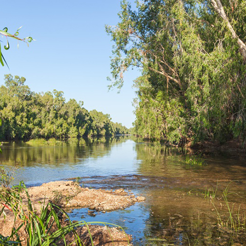
The Gregory River is one river within the Southern Gulf Water Resource Assessment. Credit: CSIRO.
Project overview
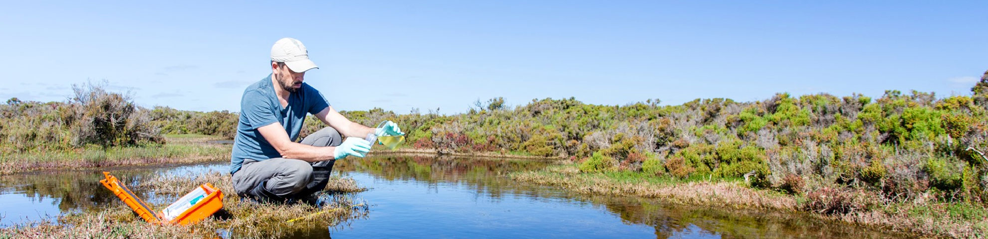
Water resource assessments provide important information. They help us understand the benefits and constraints of water development management decisions. This is especially important when considering further development and infrastructure in northern Australia.
CSIRO conducted a water resource assessment in the Southern Gulf catchments. This area covered both the Northern Territory and Queensland. They worked with governments, research partners and communities.
This assessment was undertaken alongside similar assessments in the:
- Victoria River Catchment
- Roper River Catchment.
These assessments build on previous Australian Government investment. Including the Northern Australian Water Resources Assessment (NAWRA) project, which widely assessed the catchments.
Goals of the assessment
Most rivers in northern Australia are not regulated. Current surface and groundwater allocations are small.
The assessment aimed to:
- fill knowledge gaps on resources. This included:
- water availability
- land suitability
- existing uses
- impacts of different types of development
- scales of extraction
- identify and evaluate water capture and storage options
- assess commercial viability of irrigated agriculture and aquaculture opportunities
- provide long-term knowledge base and legacy datasets to help understand trade-offs for water resource development
- examine the impacts on ecosystems, and Indigenous rights, values, and development aspirations
- support state and territory government water planning – understanding resources supports more sustainable water allocation decisions and use in the region.
Outcomes of the assessment
The assessment found:
- up to 10,000 ha of land could be irrigated
- increased on-farm storages and smaller-scale groundwater may be possible
- up to $190 million could be provided in economic activity
- 360 full-time jobs could be created.
The actual scale of potential development needs careful consideration. Factors include:
- remoteness
- climatic variability
- environmental and cultural sensitivities
- infrastructure costs.
Development also needs to align with environmental safeguards, community expectations and government policies.
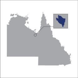
About the Southern Gulf
The Southern Gulf is located in the Southern Gulf of Carpentaria. This spans across the Queensland and Northern Territory border. The Southern Gulf has 5 water catchments:
- Settlement Creek
- Nicholson River
- Leichhardt River
- Morning Inlet
- Mornington Island (Wellesley Islands group).
Current industry includes sheep and cattle raising, mining, fishing and tourism. The region has many conservation areas including:
- national parks
- resource reserves
- fish habitat reserves
- wetland reserves
- nature refuges
- lands and sites listed on the National Estate Register and the World Heritage Register.
Key project benefits
Learn more
- For more information visit the Southern Gulf Water Resource Assessment project page and the reports page.
- Find out about our Science Program.
- Project: Integrated surface and groundwater assessment on the Roper River.
- Project: Victoria River Water Resource Assessment.