
This project was jointly funded by the Australian Government ($1.665 million) and the Northern Territory Government ($75,000 for phase 2). Australian Government funding was provided through the National Water Grid Fund.
This project will collect data to develop high accuracy digital elevation models and contours over priority surface water extraction areas in the NT.
Project overview
This project collected data to develop high accuracy digital elevation models (DEMs) – a digital map of a surface’s elevation. These DEMs are for priority water extraction areas in the Northern Territory (NT).
This will increase understanding of how water moves through the landscape. It will also improve modelling of surface and groundwater systems. This enables more reliable water allocation decisions that reflect seasonal conditions. Sustainable allocations protect all water users. This includes the environmental and cultural values dependent on these systems.
Goals of the assessment
This data will be used to inform and refine existing allocation models and plans. It also improves flooding predictions. This reduces risks to key infrastructure assets across the region.
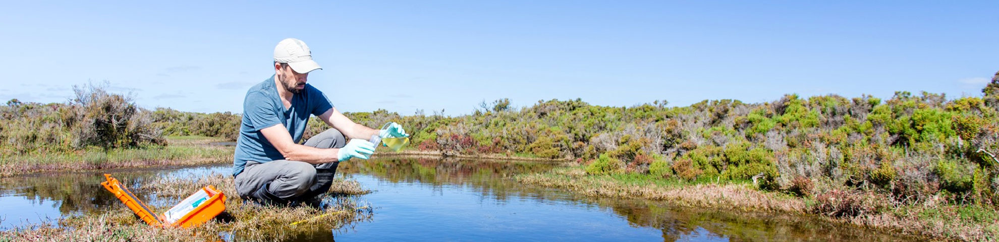
Data was collected using light detection and ranging (LiDAR). This is a remote sensing method that generates precise, three-dimensional landscape elevation information. Elevation mapping improves our knowledge of how rivers, floodplains and groundwater systems interact.
This information helps understand water resource availability. It helps determine the needs of the environment and public benefit. It also helps understand how much water is available to others.
Phase 1 - complete
Phase 1 of the project successfully delivered high-resolution DEMs for key water systems. This included the areas of:
- Daly River
- Darwin (Adelaide River)
- Tennant Creek (Western Davenport)
- Tindall (Katherine-Mataranka).
The NT Government also contributed $75,000 through in-kind contributions for this phase.
*In-kind contributions are contributions of goods and services and do not contribute to the total project cost.
Phase 2 - complete
Phase 2 of the project successfully delivered high-resolution DEMs for key groundwater systems. This included the:
- Berry Springs and Koolpinyah aquifers
- Flora River region
- Katherine River region
- Ti Tree Basin.
Outcomes of the assessment
The new DEMs will be used by government agencies, researchers and other stakeholders. They will help to strengthen water resource planning and management across the NT.
They are publicly available, helping to foster future innovation, on the NT Government’s DEM library.
Project outcomes also complement the work undertaken as part of the ‘Recalibration of models in high demand water systems’ project.